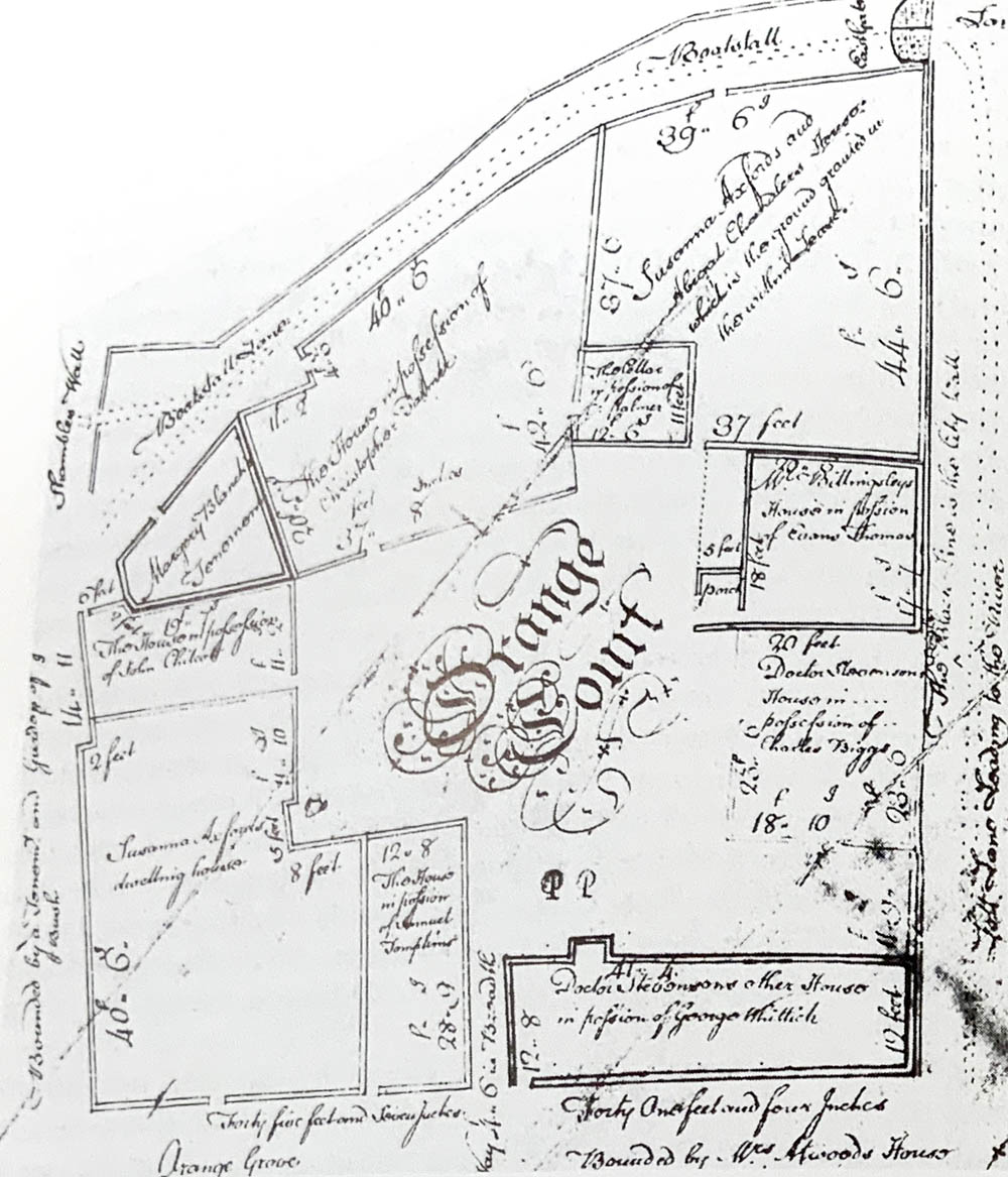
Old Bath East Gate.
The Mediaeval East gate is still visible, below ground level (at the medieval level of the old city). It leads out to the quay where the Horseshoe Weir is now situated. The gate was protected by strong doors and a large lock, the hinge of which can still be seen on the gate.The Eastgate is the last survivor of the gates to the medieval city of Bath (the north, west and south gates were demolished 1754-76). It originally led to the city mill and the ferry to Bathwick. The wall to the south was largely demolished during construction of theThe Empire Hotel was designed by the City Architect, Major Charles Davis, and built 1899-1901. it was requisition by the Admiralty in 1939 and remained in their possession until 1995. It has now been converted into apartments and restaurants.
The city wall originated in C4 towards the end of the Roman period. It was repaired in the early C10, and was then kept in use until the Civil War. Pepys reported that it was in good condition in 1668, but it gradually decayed until most was demolished in the C18: the Corporation demolished the north and south gates in 1755, and the south gate followed in 1776. Its narrowness suggests that this was never a principal entrance, but is nonetheless of great significance as the only surviving medieval gate in the city.
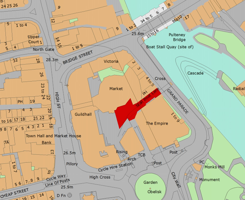
East Gate today shown in red



Savile Map of Bath c.1600 showing East Gate
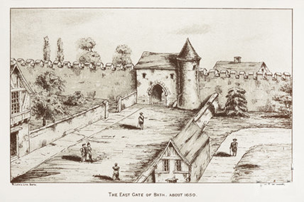
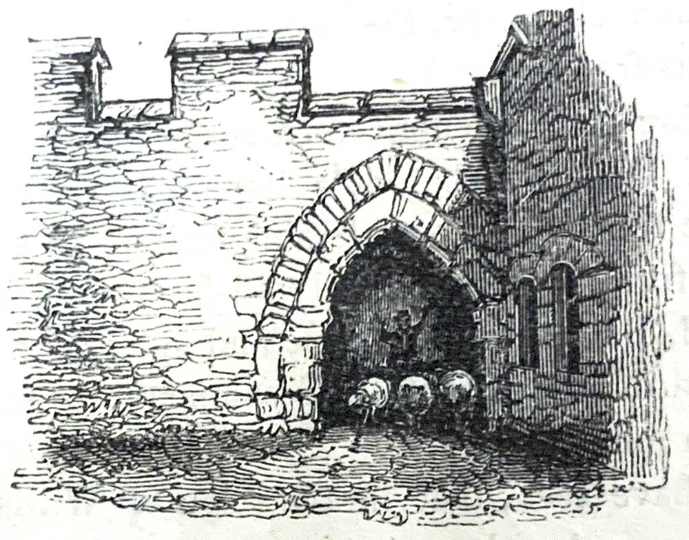
An Artists representation of the East gate in 1650

Gilmour Map of Bath 1694
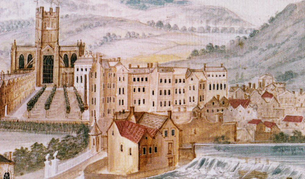
A view of Orange Grove and Boat Stall Lane by Thomas Robins c.1745

Harcourt Masters Map 1786
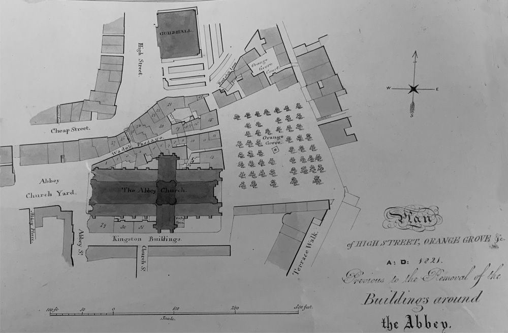
Map of East Gate Area in 1821 before buildings cleared around Bath Abbey

Map of East Gate Area in 1834 after buildings cleared around Bath Abbey

1853 Map of Boat Stall Lane. Bath

1853 Map of Boat Stall Lane. Bath
.jpg)
1853 Map of Boat Stall Lane. Bath

1883 Map of Boat Stall Lane. Bath

1883 Map of Boat Stall Lane. Bath
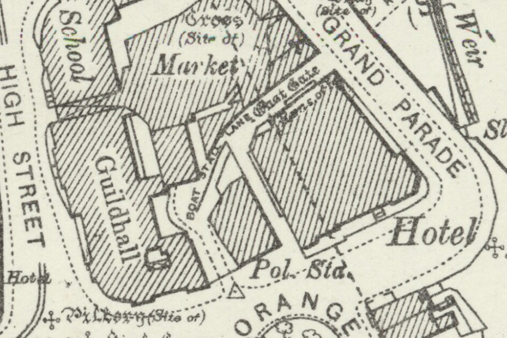
1902 Map of Boat Stall Lane. Bath
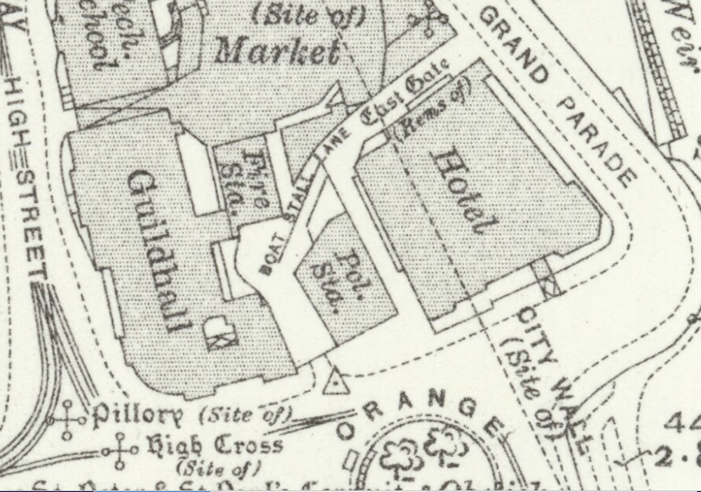
1930 Map of Boat Stall Lane. Bath
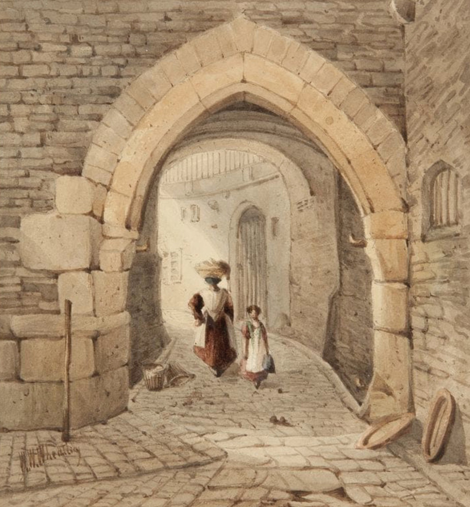
East Gate Bath with Boat Stall Lane passing under it by William Wheatley
.jpg)
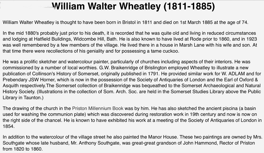
Boat Stall Lane by William Wheatley with the narrow lane descending to the Mediaeval East Gate and the river below. The building in centre background with the venetian window would have been Bowling Green House, later to become the Soda Water Factory on the corner of Orange Grove.
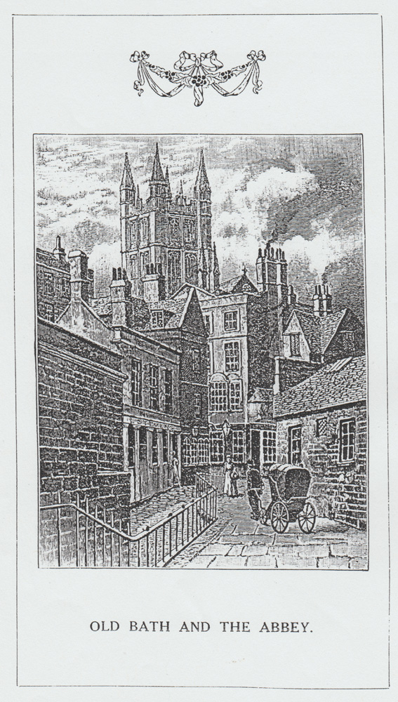
This picture comes from Mann, Historical Sketches of Bath Churches 1912 and depicts a similar view to above. The building on the right is the Victorian Beefsteak Tavern.
On the left beyond the wall is a shop labelled - L.Stevens. Presumably this is
on the north side of Orange Court. On p.6 of our Newsletter No.4, there is a view of the Soda Water Manufactory on the north side of the Orange Grove, by a building which came to be called the Athenaeum. Behind it one can see E.
Savage, Tailor, on what would be the south side of Orange Court. On p.4 of the same issue, the Central Police Station has taken up the Tailor ite, as shown on the O.S. map of 1886 (see also this issue).
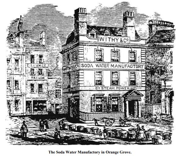
An engraving of the Soda Water Manufactory, which had formerly been Bowling Green House, shown on previous engraving.
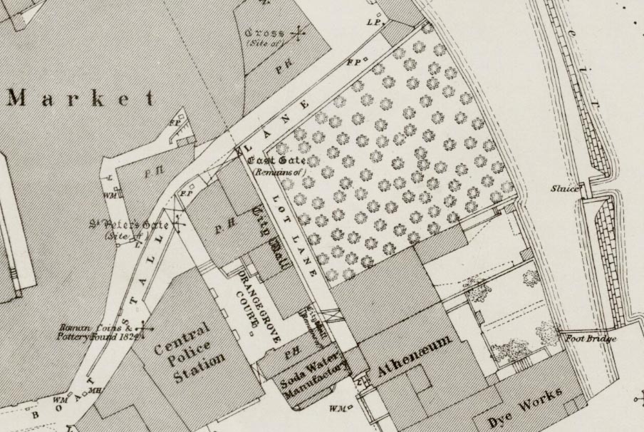
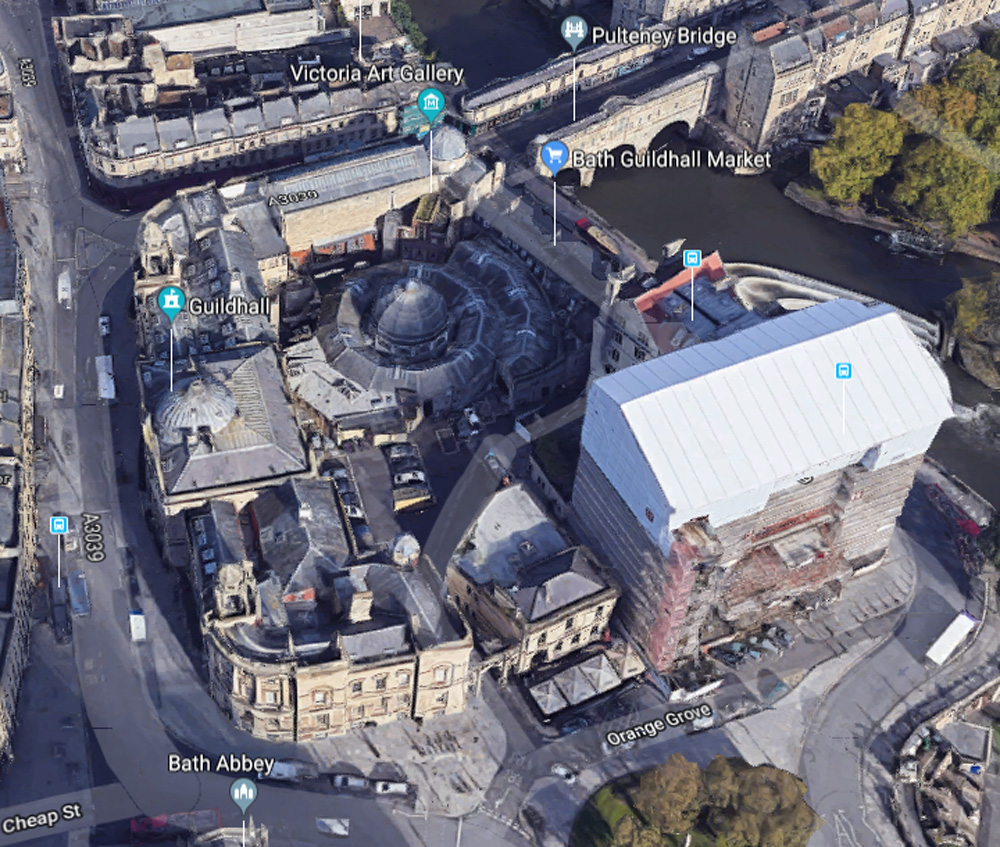
The cellars in the south-west corner of the Empire Hotel basement are in fact the retained cellars of an eighteenth century building, originally the Bowling Green house, and tavern. In the later nineteenth century this became a “Soda Water Manufactory”. Evidence of the industrial processes was recorded during underpinning work.
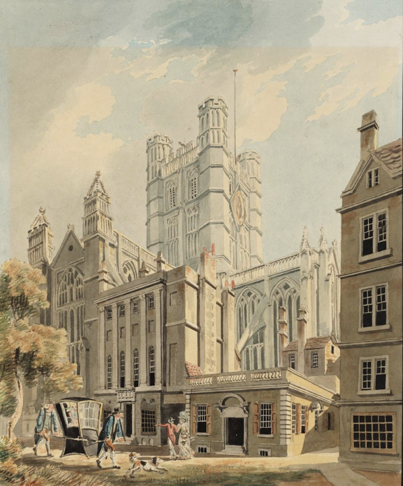
Bath Abbey from teh North East by J.M.W. Turner
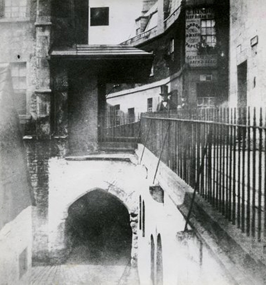
The East Gate in 1849
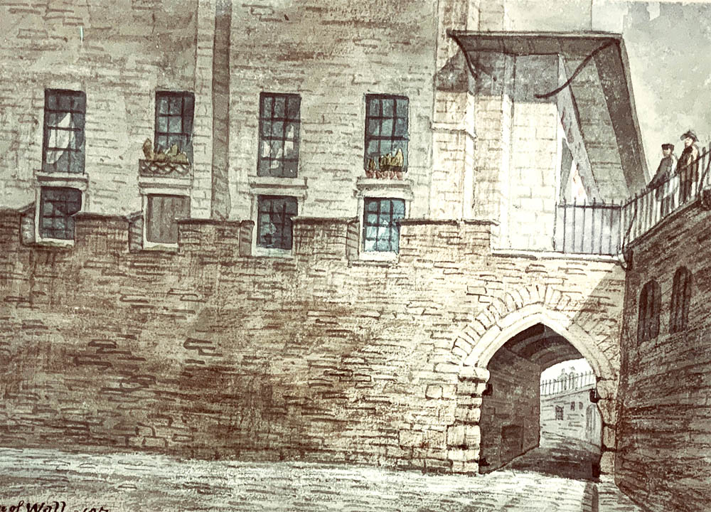
East Gate and Wall in 1857

East Gate Exterior Bath by H.V. Lansdown 1855
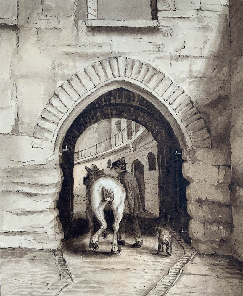
East Gate interior. Bath by H.V. Lansdown 1855
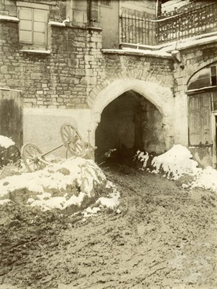
The East Gate with a section of the City Wall adjoining it.c.1900
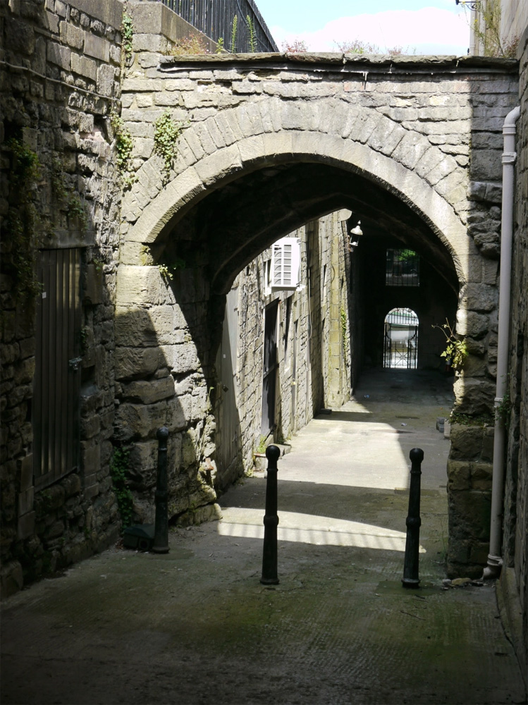
Boat Stall lane today passing under the East Gate.

Close to the East gate, where the old street level emerged onto the quay
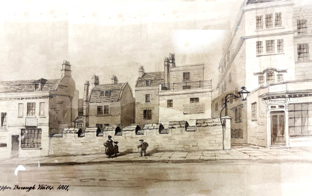
A section of the Old City Wall still to be seen on Upper Borough Walls in Bath today.
.jpg)
