Click on images or Charmouth Home to return back.
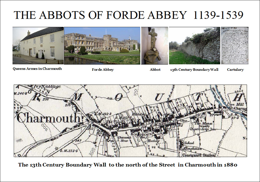
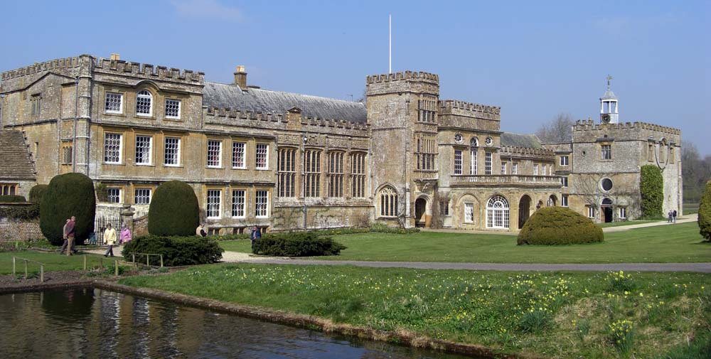
No single owner of Charmouth had more impact on its history than Forde Abbey whose Abbots were to be it's Lords for nearly 400 years. Their Abbey had been founded in 1147 and in time was to become one of the richest and most learned institutions in England. By the end of the 13th Century they owned over 30,000 acres of land in Devon, Dorset and Somerset. It seems that land would be given to them on the understanding that they prayed for the souls of the donor.
Amongst these bequests was one in 1170 by Richard del Estre for land in Cernia as Charmouth was known then. Later his son confirmed this gift with another adjoining piece of land given by his brother Ace. With additional blocks of land the Abbey was soon the owner of the village and the Abbot was being described as Lord of the Manor in later documents.
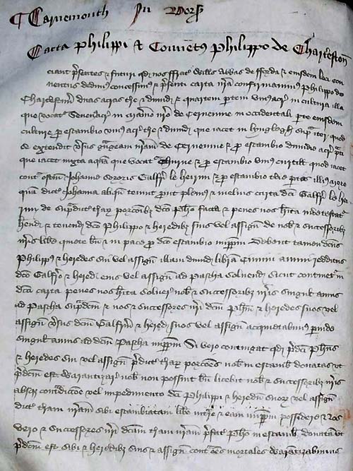
We are fortunate that many of the early transactions back to its beginning have been recorded in a Cartulary which still survives to this day. This valuable book records 64 separate entries for Charmouth which give a picture of the village in those times with it's Grange, Guildhall, Mill, Market Cross, Pillory, Fair and Bridge. Amongst them is one for 1281, which refers to the church being battered by the sea, and a new one needing to be built in a safer spot.
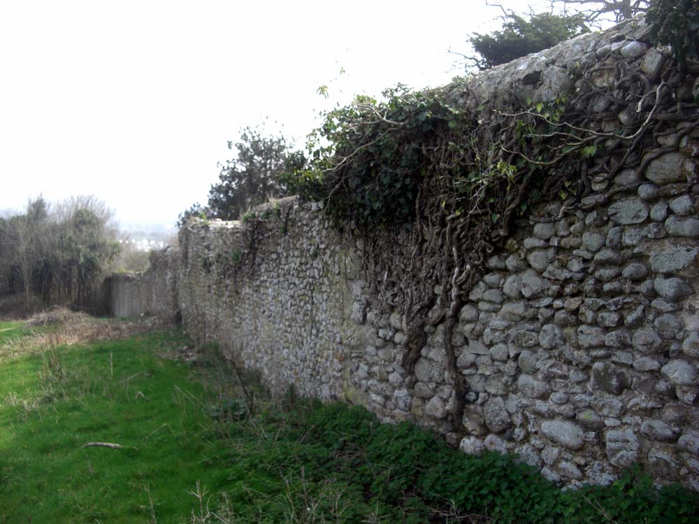
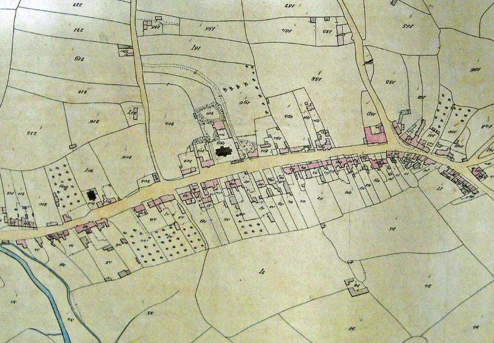
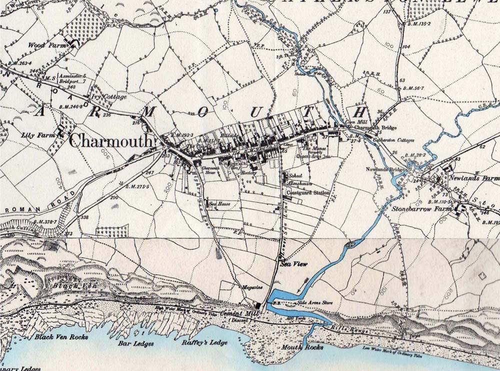
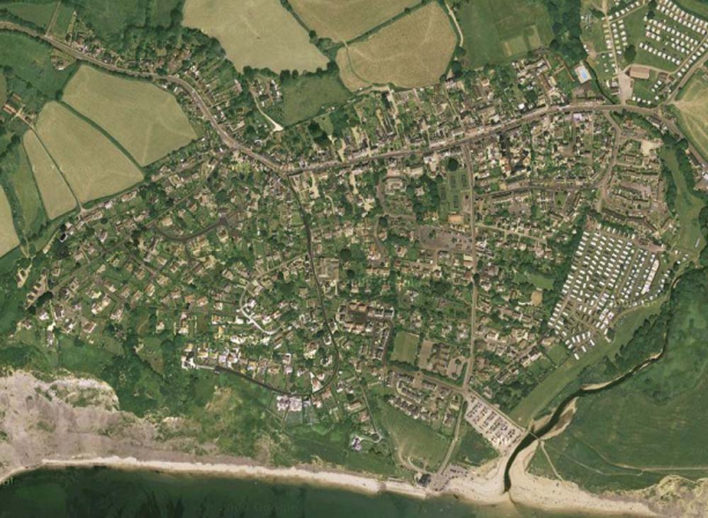
But the most important event in Charmouth's history took place in 1290 when William, Abbot of Forde improved the Manor by making it a Free Borough. The entry is very descriptive of the boundaries of the village and the half-acre Burgage plots that were to be created along either side of the Street. Unfortunately it was not a great success and the borough never really took off. Many of the plots were amalgamated into larger ones so that tenants could get a living from them. It is amazing that if you look at aerial photographs and maps the vestiges of the borough can still be seen. The thirteenth century wall along the rear of the buildings to the north of the Street is virtually intact and many of the long strip gardens can still be seen on both sides with a bank marking it to the south.
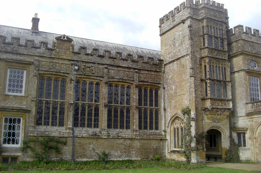
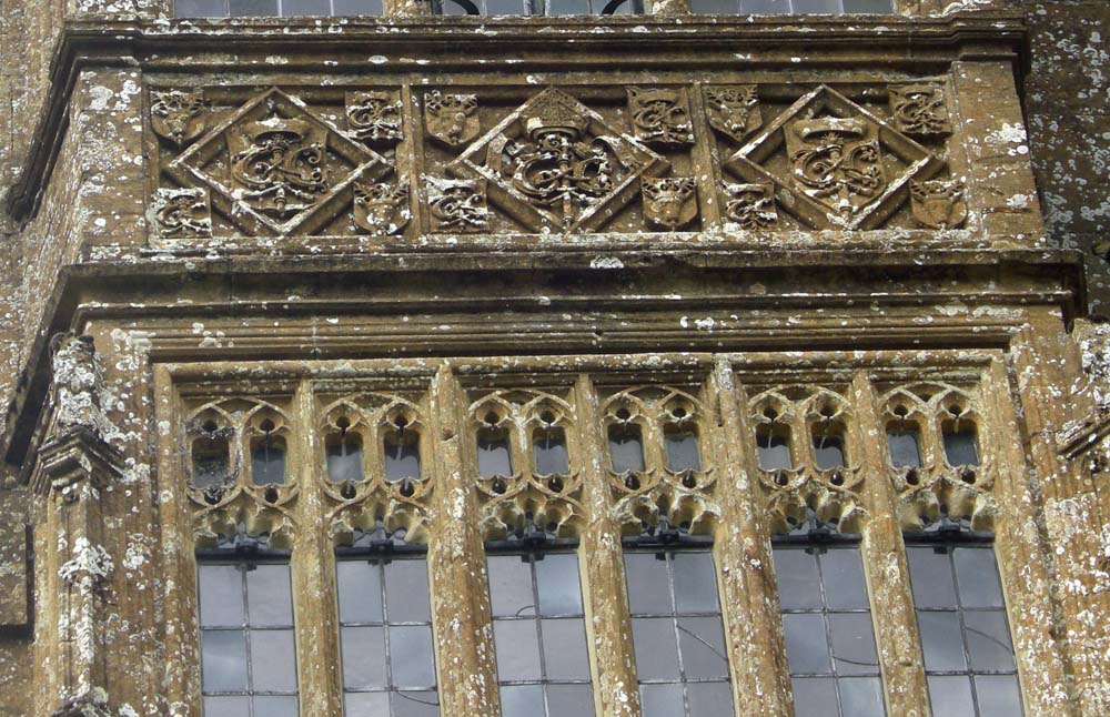
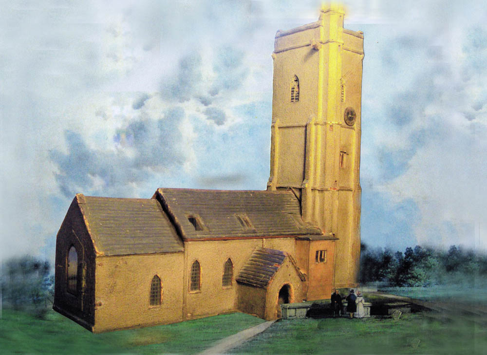
There was to be a revival in the fortunes of the village in the early 16th century under the last Abbot, Thomas Chard who was the Lord from 1501 until the dissolution in 1539. He was instrumental in rebuilding the church in 1503 and a model constructed by the village carpenter, Mathew Locke, shortly before it was rebuilt in 1838 reveals how it once looked.
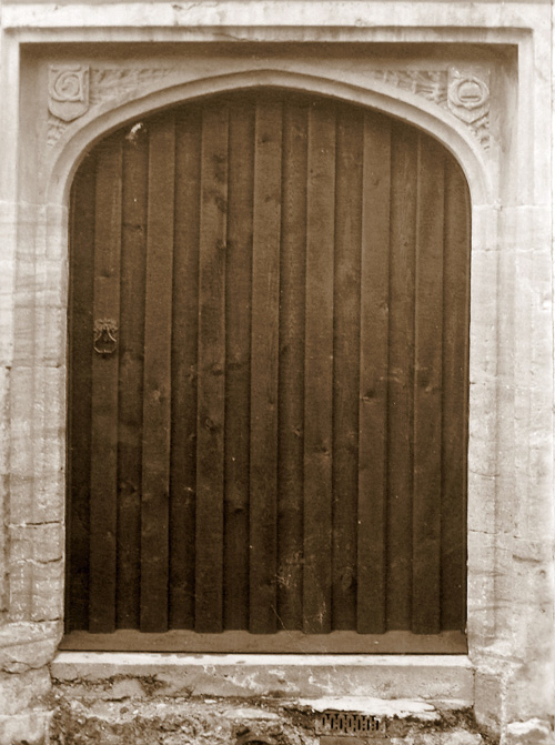
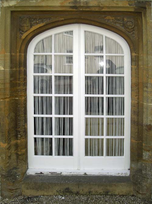
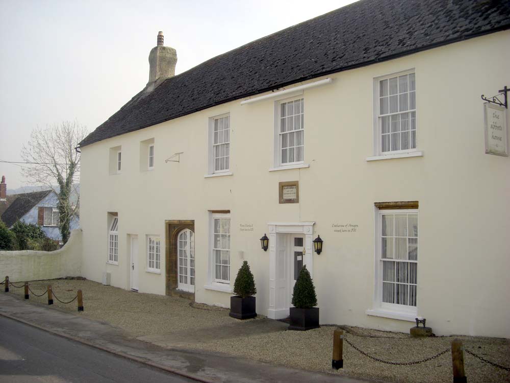
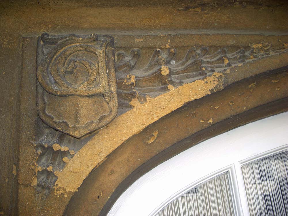
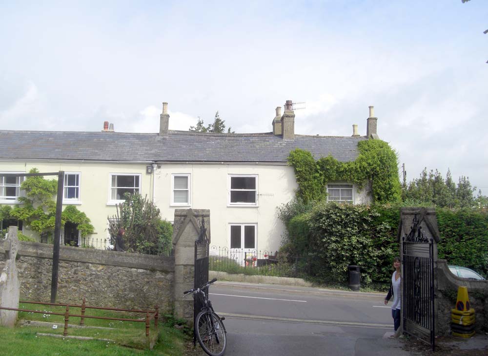
The initials T.C. still grace a former doorway in the Abbots House, formerly the Queens Armes on the Street and provide a clue to the fine building this must once have been. More recently a picture of the front of the old Manor opposite the Church in 1828 has come to light that shows the remnants of an ornate front and leaded windows similar to those of Forde Abbey when Thomas Chard rebuilt it. The lay Subsidy of 1525 reveals a population for the village of about 200 at that time, though it accounted for less that 10% of the total income of the Abbey.
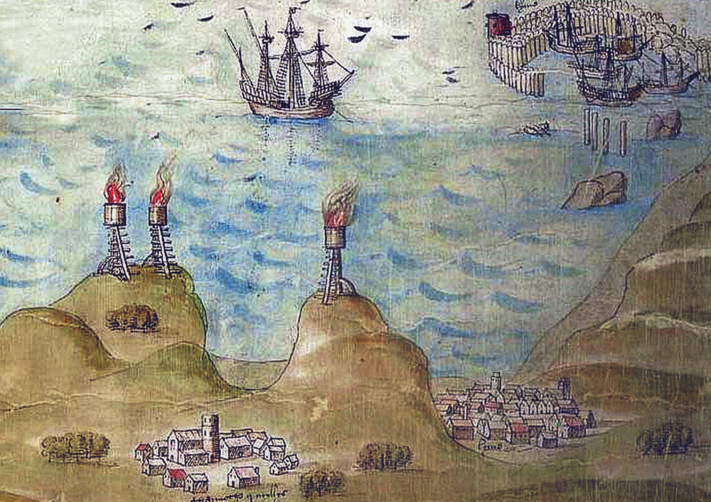
In 1539 a map was commissioned to show the defences along the Southern coast. Though simplistic it does give an idea of how the village looked with a group of buildings surrounding the Church. Unfortunately the fortunes of the village were to change in the same year when the village was given back to the Crown. Sir William Petre who was later to become the Lord supervises the deed of surrender of the Estates.
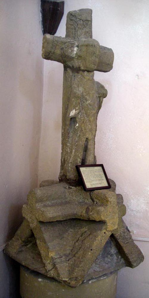
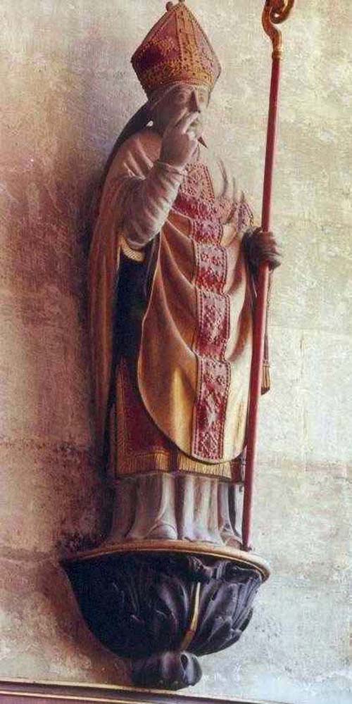
There is one other reminder to be found in the village of the link with Forde Abbey. It is a small statue of an Abbot that would have once stood on the front of the building that by some miracle has survived and was recovered in the grounds of the Church.